


General |
|
| Lens Material |
chemically strengthened glass |
|---|---|
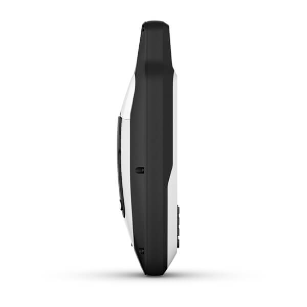
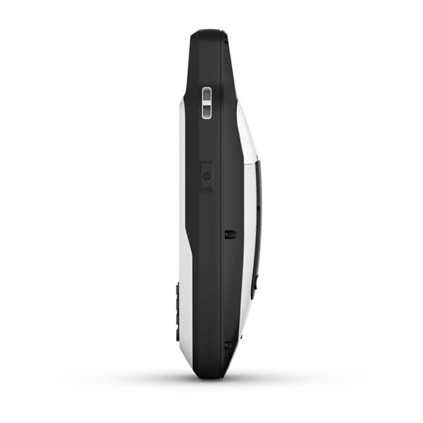
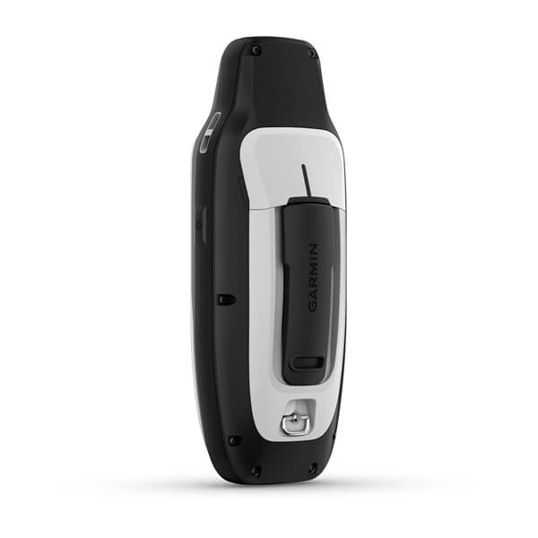
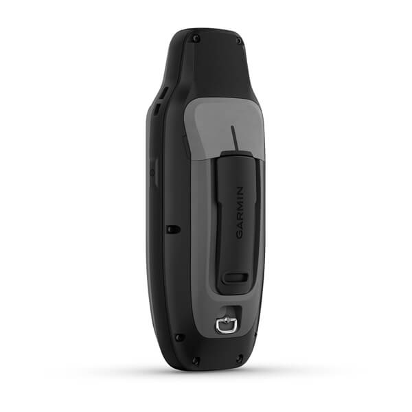
| Dimension | 2.67” x 6.85” x 1.67” (6.77 x 17.40 x 4.23 cm) |
| Weight |
9.95 oz (282g) with batteries |
|
Water rating |
IPX7 |
| MIL-STD-810 | yes (thermal, shock, water); bare unit only |
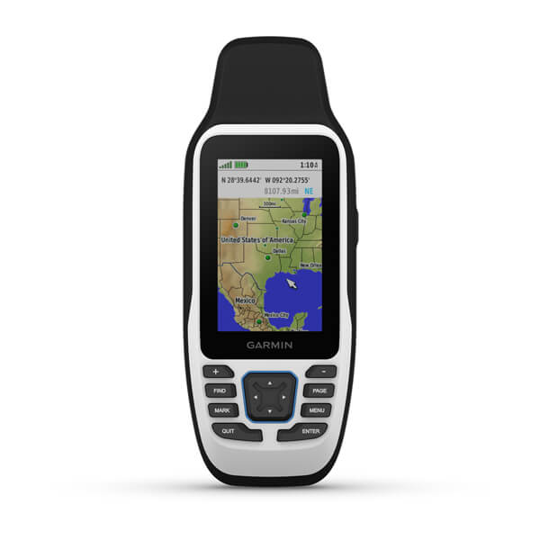
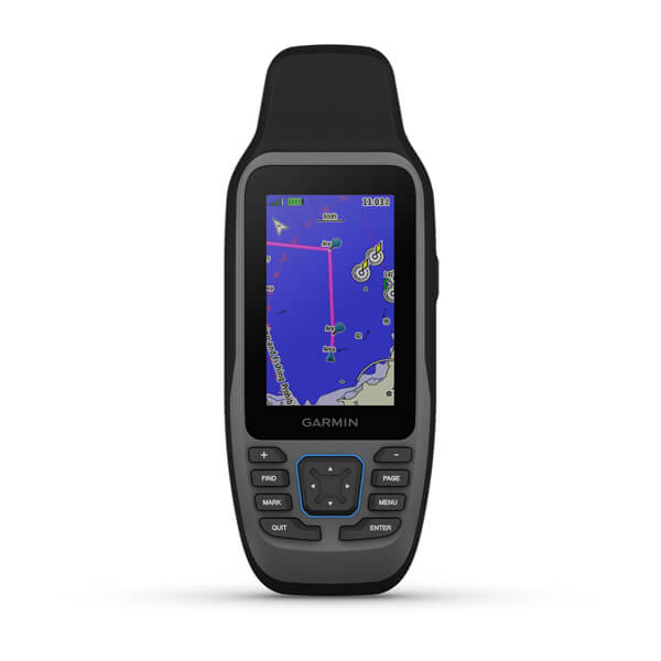
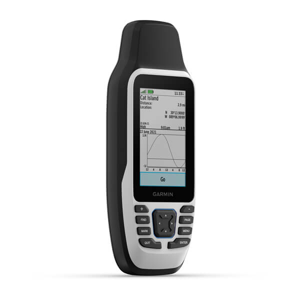
| Display Type | transflective, 65K color TFT |
| Display Size | 1.5"W x 2.5"H (3.8 x 6.3 cm); 3" diag (7.6 cm) |
| Display resolution | 240 x 400 pixels |
|
Battery Type |
2 AA batteries (not included); NiMH or Lithium recommended |
| Battery life |
up to 19 hours |
| Memory/History | 8 GB (user space varies based on included mapping on sc version) |
| Interface | high speed microUSB and NMEA 0183 compatible |
Maps & Memory |
|
| Preloaded maps |
Available on sc version only |
|---|---|
| Ability to add maps | |
| Basemap | |
| Automatic routing (turn by turn routing on roads) for outdoor activities | Yes (with optional mapping for detailed roads) |
| Map segments | 15000 |
| Includes detailed hydrographic features (coastlines, lake/river shorelines, wetlands and perennial and seasonal streams) | Yes (downloadable from Garmin Express™) |
| Includes searchable points of interests (parks, campgrounds, scenic lookouts and picnic sites) | Yes (downloadable from Garmin Express™) |
| Displays national, state and local parks, forests, and wilderness areas | Yes (downloadable from Garmin Express™) |
| External memory storage | yes (32 GB max microSD™ card, not included) |
| Waypoints/favorites/locations | 10000 |
| Tracks | 250 |
| Navigation Track Log | 20,000 points, 250 saved gpx tracks, 300 saved fit activities |
| Navigation Routes | 250, 250 points per route; 50 points auto routing |
| Rinex logging |
Sensors |
|
| GPS | |
|---|---|
| Galileo | |
| QZSS | |
| SBAS | |
| Compass | Yes (tilt-compensated 3-axis) |
| High-sensitivity receiver | |
| GPS compass (while moving) |
Outdoor Recreation |
|
| Point-to-point navigation | |
|---|---|
| Area calculation | |
| Fish forecast | |
|
Geocaching-friendly |
Yes (Paperless) |
|
Custom maps compatible |
|
| Picture viewer |