


General |
|
| Lens Material |
chemically strengthened glass |
|---|---|
| Dimension | 2.4" x 6.3" x 1.4" (6.1 x 16.0 x 3.6 cm) |
| Weight |
7.7 oz (217 g) with batteries |
|
Water rating |
IPX7 |
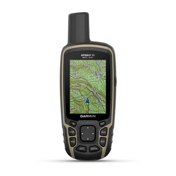
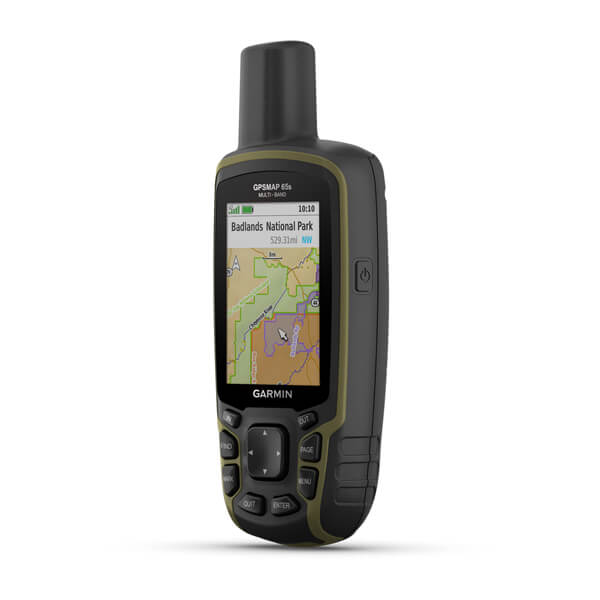
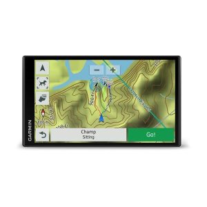
| Display Type | transflective, 65K color TFT |
| Display Size | 1.43" x 2.15" (3.6 x 5.5 cm); 2.6" diag (6.6 cm) |
| Display resolution | 160 x 240 pixels |
|
Battery Type |
2 AA batteries (not included); NiMH or Lithium recommended |
| Battery life | 16 hours |
| Memory/History | 16 GB (user space varies based on included mapping) |
| Interface | high speed mini USB and NMEA 0183 compatible |
Maps & Memory |
|
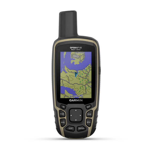
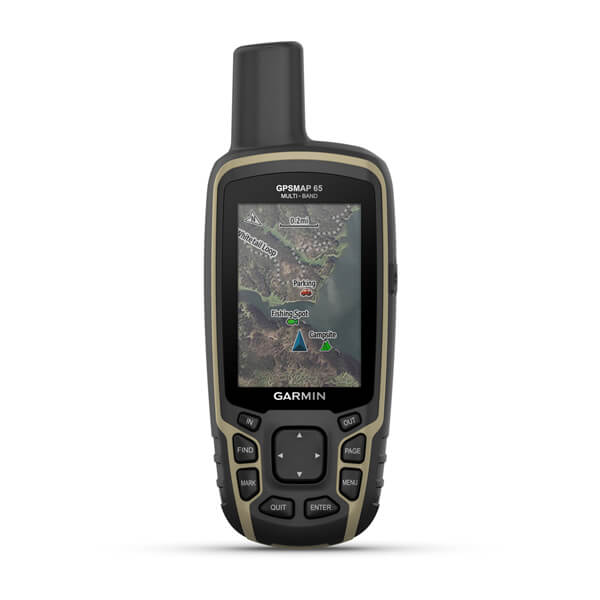
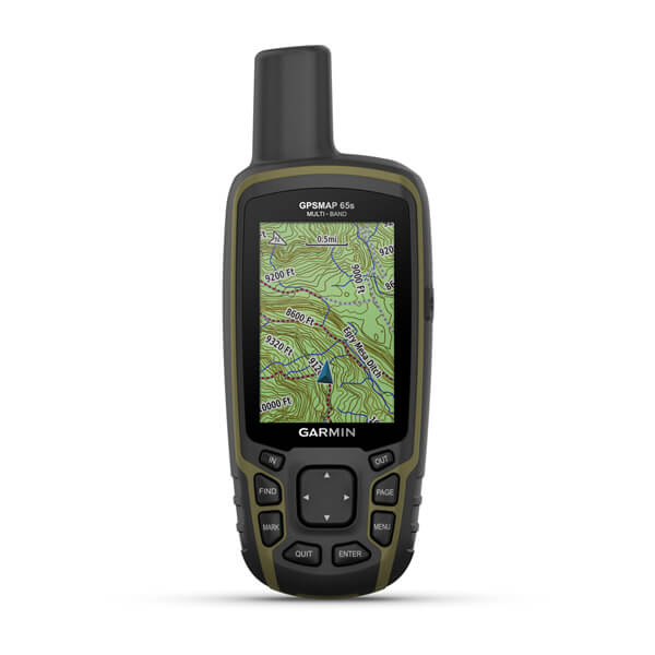
| Preloaded maps |
yes (TopoActive; routable) |
|---|---|
| Ability to add maps | |
| Basemap | |
| Automatic routing (turn by turn routing on roads) for outdoor activities | |
| Map segments | 3000 |
| Includes detailed hydrographic features (coastlines, lake/river shorelines, wetlands and perennial and seasonal streams) | |
| Includes searchable points of interests (parks, campgrounds, scenic lookouts and picnic sites) | |
| Displays national, state and local parks, forests, and wilderness areas | |
| External memory storage | yes (32 GB max microSD™ card) |
| Waypoints/favorites/locations | 5000 |
| Tracks | 200 |
| Navigation Track Log | 10000 points, 200 saved tracks |
| Navigation Routes | 200, 250 points per route; 50 points auto routing |
Sensors |
|
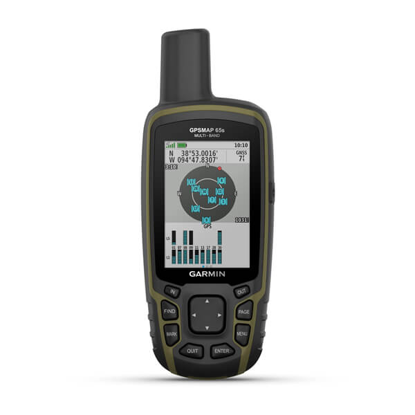
| GPS | |
|---|---|
| GLONASS | |
| Galileo | |
| QZSS | |
| Barometric altimeter | |
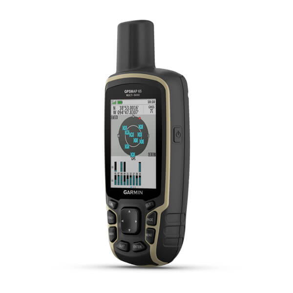
| Compass | Yes (tilt-compensated 3-axis) |
| High-sensitivity receiver | |
| GPS compass (while moving) | |
| Multi-band frequency support |
Daily Smart Features |
|
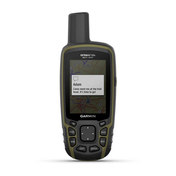
| Smart notifications on handheld | |
|---|---|
| VIRB® Remote | |
| Pairs with Garmin Connect™ Mobile |
Outdoor Recreation |
|
| Point-to-point navigation | |
|---|---|
| Area calculation | |
| Fish forecast | |
| Sun and moon information | |
|
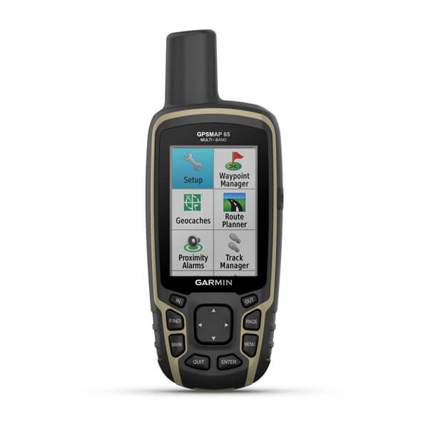
Geocaching-friendly |
Yes (Paperless) |
|
Custom maps compatible |
yes (500 custom map tiles) |
| Picture viewer |
Outdoor Applications |
|
| Compatible with Garmin Explore™ app | |
|---|---|
| Garmin Explore website compatible |
Connections |
|
| Connections Wireless Connectivity |
yes (BLUETOOTH®, ANT+®) |
|---|